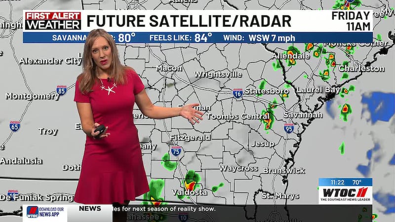
Jamie Ertle’s First Alert Weather Forecast for June 23, 2026
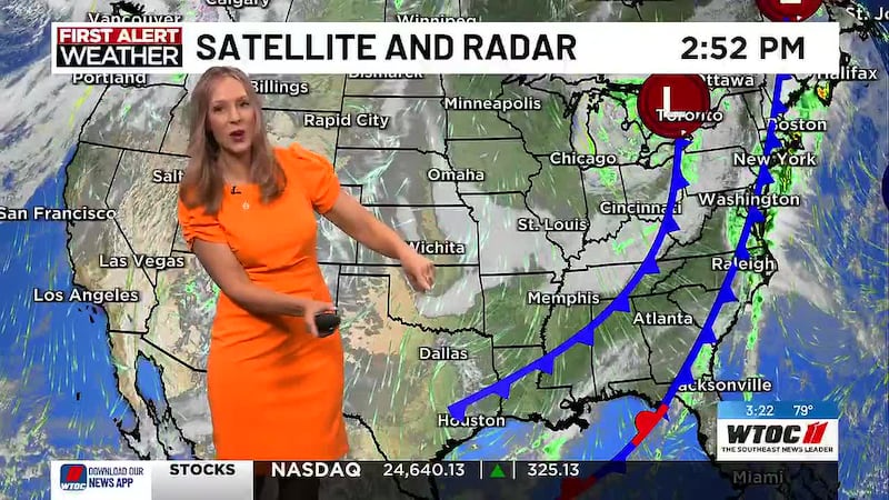
SAVANNAH, Ga. (WTOC) - The gusty winds will slack off after sunset with dry conditions. We can thank a cold front to our north and High pressure to our south for the winds and again thank it Wednesday and Thursday for a small break from the heat and humidity. The cold front slides through overnight and dissipates over our area or just south.
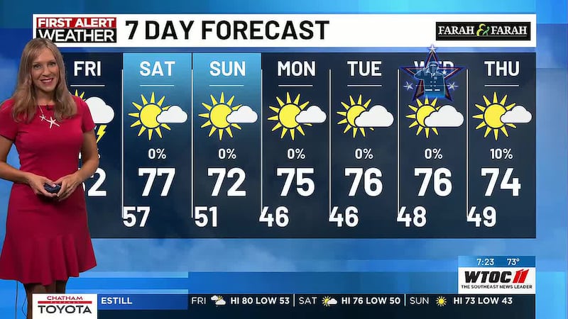
Wednesday: 71/90 mostly sunny, 10% chance of a sea breeze shower and the feels like temperatures will only be a few degrees above the air temperature, so no 100° heat indices
Thursday: 72/92, mostly sunny, 20% chance of a sea breeze shower, and again, should not have 100° heat indices
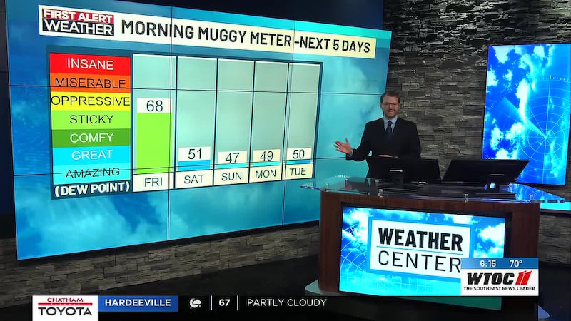
A gradual warming trend is forecast through the remainder of the week and into the weekend, with upper 90s Saturday and Sunday. A few locations could even exceed 100 degrees this weekend. Combined with dewpoints in the 70s, heat index values could reach 108-112F, especially across coastal counties.
Friday: 74/95, mostly sunny with a 30% chance of isolated to scattered storms in the afternoon/early evening
Saturday: 75/95, mostly sunny, 10% chance of showers
Sunday: 76/97, mostly sunny, 20% chance of rain
Monday: 76/97 mix of sun and clouds, 30% chance of rainstorms
Tuesday: 75/92 mix of sun and clouds, 30% chance of rainstorms
MARINE: Winds are weaker, albeit still breezy, across the near and offshore zones from Savannah down to Altamaha Sound. Winds weaken throughout the evening and overnight hours, with a weak cold front pushing through during the overnight hours, bringing a switch to northeasterly winds throughout the morning hours. Wednesday through Sunday: Favorable marine conditions are expected across the local waters through the weekend.
RIP CURRENTS: Rip current risk for Wednesday is low.
TRACKING THE TROPICS: No tropical development is expected in the next seven days
Stay Safe!
~JErtle
Copyright 2026 WTOC. All rights reserved.